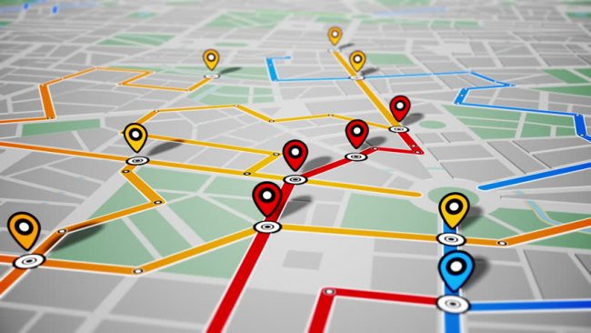
With so many different features on smartphones, it is easy to forget that what makes a lot of the tools work on the mobile device involve technology borrowed from other systems. GPS and app features like Google Maps are exactly that situation.
GPS Versus a Software Program
GPS, an acronym for global positioning system, is a well-known, satellite-based system of location tracking. Satellites that orbit the earth emit location information based on where a receiver in a GPS device happens to be located when activated. The data from three satellites is then triangulated for an exact location reading. How that information is then displayed depends on the GPS device. For smartphones, the receiver is already built into the phone hardware, but the phone app like Google Maps then allows one to interpret the data for a given purpose. While Google Maps provides one method of interpretation of location data, it is not the only use of the satellite’s data.
Technically, Google Maps is a program when run on a mobile device. Better known as an “app,” the program follows a set collection of commands based on how the user interacts with the program. The software takes advantage of the hardware in the mobile device, specifically the GPS hardware, to gain its locational information and then displays it on the screen. A key point about Google Maps is that it is generally used for directional information on where to go. While GPS data can provide a lot more, this doesn’t tend to be the use on the Google program in most cases. However, unlike a paper map or even a map reference program, Google Maps updates itself in real time, so the user has a good idea where he or she is located at every point along a trip.
Drawbacks of Google Maps Versus GPS
One of the limitations of Google Maps versus a regular GPS device, however, is that mobile devices are limited to either their cellular signal or a nearby Wi-Fi frequency. When one is out in the field or away from cell towers, the program is essentially useless because the mobile device can’t update itself as easily. The GPS component will still receive data, but the program may be hampered by being unable to download the latest map information to display it with. A regular GPS device doesn’t have this problem. It’s already preloaded with the necessary maps, so the data is displayed, regardless of the location of any cellular towers.
GPS dedicated services and devices that read them tend to be far more static. However, the data provided is objective and focuses on pure location usage. Google Maps, in comparison, tends to be marketing oriented. While a person will definitely be able to see locational information or destinations with the program, it also pumps out a lot of unnecessary information about nearby businesses. This is part of Google’s revenue stream, pushing advertising or business information to users who utilize Google’s products for free. The operational costs providing the software is paid for with the advertising fees from the companies whose data is displayed in Google Maps as a result.
Convenience Attracts People
The massive amount of revenue that Google generates allows the company to design Google Maps to be attractive to its customers. Again, the product is available and usable for free. Google monetizes this activity as well, selling it as analytical data back to the businesses that want to advertise. The back and forth of information is all part of the company’s complex and wide-spread approach to generating income. For users of the app, however, the program can be downloaded on any compatible device, it provides good reference for where one happens to be, the information is updated with the latest details including recent changes, and it displays with very clear consumer-focused information. On the downside, Google Maps has its Achilles’ Heel when it comes to data feed, and it is a huge power hog. If the mobile device is not powered up, the program will quickly burn down a weak battery.
GPS Isn’t Going Anywhere
While a good number of folks thought that GPS direct devices were going to be phased out by mobile devices, that perspective has often come from a viewpoint unfamiliar with how professional GPS has been used to date. The reality is that while devices carrying software like Google Maps have become far more widespread, GPS technology itself is still the primary infrastructure how GPS data is read and used. GPS direct devices simply make getting location data far easier. First, GPS devices are fairly affordable. Second, they have no weakness or dependency on cellular signals being present. Third, GPS device batteries last much longer, and the dedicated devices are far more accurate than the general views provided on smartphones. All of that makes for a recipe that is far more effective, especially when one is operating in remote locations.
GPS dedicated devices can be applied to all types of activities, which travel being one of the most common uses. The use of GPS tracking is particularly helpful, both for knowing where things have been in terms of logistics as well as where they need to go for destinations. GPS Technologies provides a wide array of equipment and hardware for all types of GPS applications, ranging from fleet management to dashcam GPS combos. Our key support for logistics has given GPS Technologies a lead in helping companies as well as distributors manage their resources, fleet, and data location accurately for more efficiency and less waste. Contact our team to find out more about how GPS Technologies can help your business and logistics.
Stay Connect with Get News 360
